Yerevan: city of 76 micro-bus routes, 68 bus routes, 10 trolleybus routes, and a metro line – and yet, a very high chance of getting lost… The absence of centralized transport information continues to confound even Yerevan’s longest-serving residents.
Currently there are no maps illustrating the transport routes, there are no schedules or timetables, there is no central location, website, or guide where all this information is centralized and accessible to the general population, and there is no route planning service, like that offered in other capital cities. The information on buses is available only in Armenian, and is therefore not usable for tourists who visit the country.
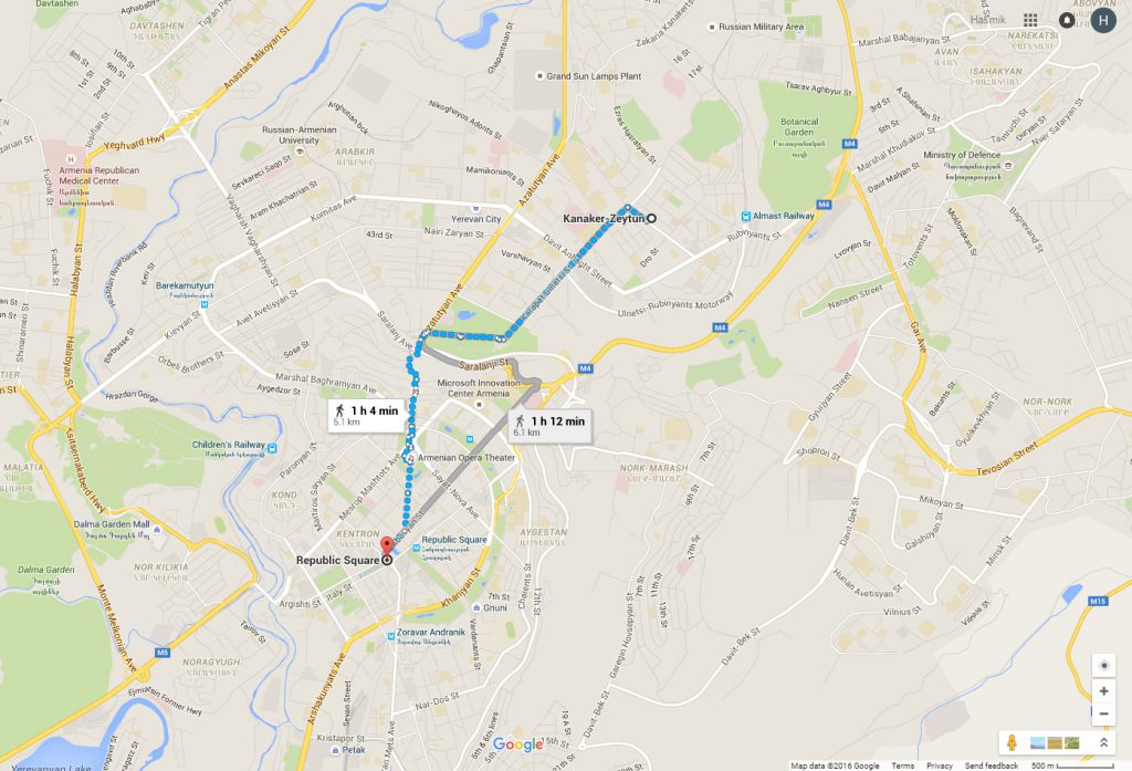
Enter Arthur Dolmajian and his interactive public transport platform. Arthur, a transport engineer from Canada, is developing a system that will provide transport route maps, timetables, tourist-friendly content in multiple languages, and more. All available online, via special app, and on Google Maps!
Sounds easy, huh? Not quite. When finished, Yerevan will be only the second city in the world to have translated informal bus routes into google map compatibility (the first being Nairobi, Kenya).
The project team currently is working to finish the digital files (GTFS – General Transit Feed Specification) needed to generate the transport maps hosted by Google Maps. Completing this technical step would not just provide residents with a fast and reliable way to move around the city – it would put Yerevan on the world map and make the city accessible from anywhere in the world.
Would you like to do the same in your city? Or just want to learn more? Leave your comments below of contact our team on Facebook or Twitter.